Hyttebotn (alternativ topp)

Hallingdal

F

Alpine Grade

KAST 2

Avalanche Terrain Exposure Scale

Toponeige

1.1
1.2
2.1
2.2
3.1
3.2
4.1
4.2
5.1

⌛3h 0min

📏4.0 km

🔼458 m

🏔️1419 masl
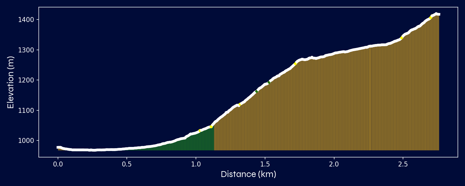
Elevation Profile
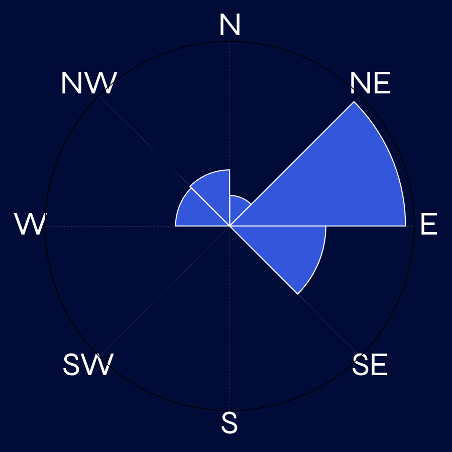
Slope Aspect Distribution

Tour description

⛰️ A day in Hallingdal begins at unknown, guiding us through enchanting open, forest, open. The route gradually intensifies with slopes of up to 31.1°, consistent with its F rating. Spanning 2.8 km and around 5.5 hours, this tour culminates at the breathtaking summit of unknown (1419.39 m).

All ski touring route data and analyses are the property of Mountainsnow AS. The service is provided through skimo.app in collaboration with skida.app, which offers the extended app version with additional map layers, weather forecasts and avalanche bulletins.

Redistribution of this data — in whole or in part — whether physically or digitally, is strictly prohibited without prior written consent from Mountainsnow AS. This includes publishing in other apps, websites, printed materials, or using the data for commercial or public purposes.

© 2025 Mountainsnow AS